Dig To Display: Transforming Dinosaur Bone Asset Management with InfraMarker RFID and GIS
Investigating the use of GIS and RFID/magnetic marker technologies for better asset management
Abstract
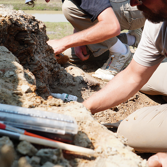
Tracking and managing artifacts at archaeological excavations, through transport to research facilities, museum display and storage has been a persistent issue with no universal solution. This study examines the novel application of existing technologies to track, manage and share data from 347 dinosaur bone fossils from dig to display.
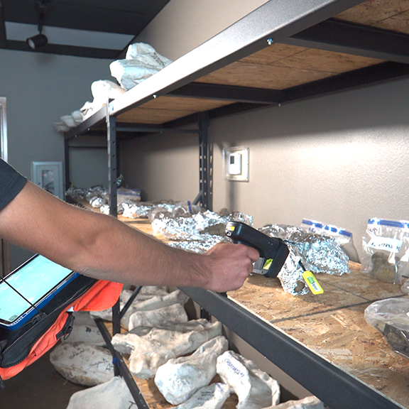
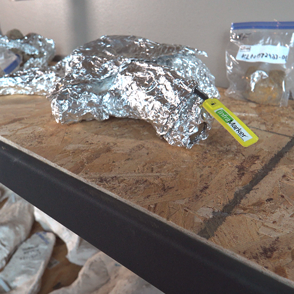
Radio Frequency Identification (RFID), used with Geographic Information Systems (GIS). was used to track 347 dinosaur bone fossils from dig to display. This approach was found to reduce field data collection time by 80 percent, deliver nearly perfect accuracy in artifact tracking and significantly reduce administrative burden while being user-friendly in the field.
The study’s authors concluded that this approach has the potential to transform paleontology’s current method for fossil management while delivering completely new benefits.
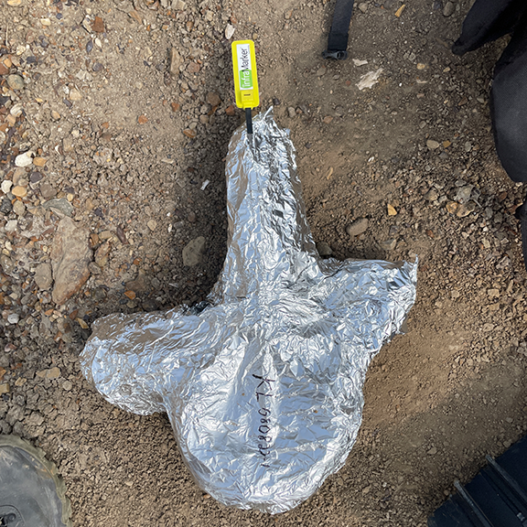
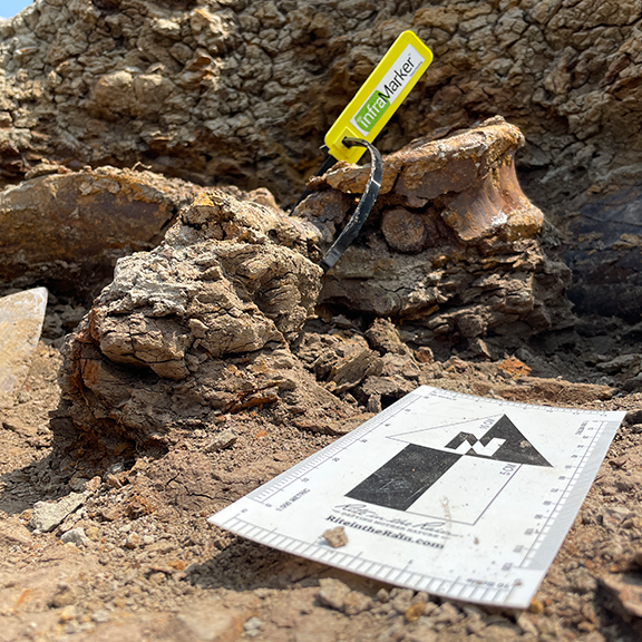
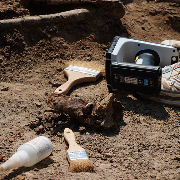
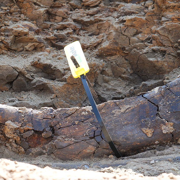
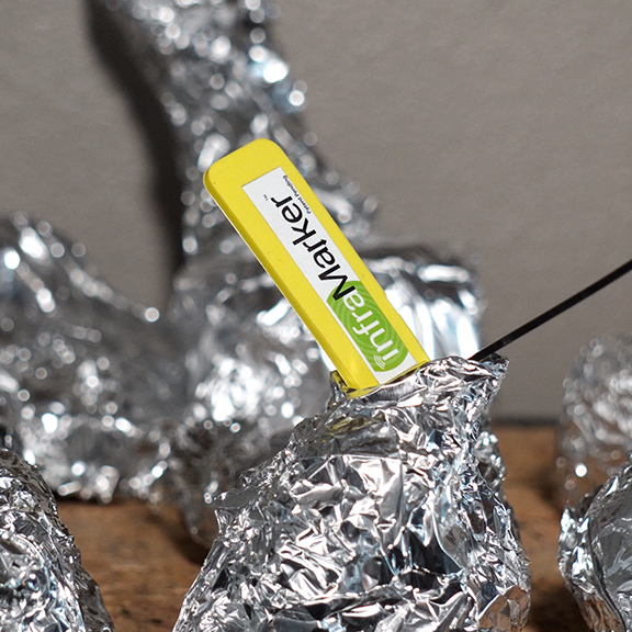
RFID tagging means that each fossil can be immediately and accurately identified and its data accessed for updating at any time during the research and curation process.
Instant access to real-time artifact data is available to related organizations, such as site managers or fossil owners.
The RFID/GIS approach has clear benefits for any industry that must manage thousands of discrete assets through space and time, from agriculture to manufacturing to utility management.
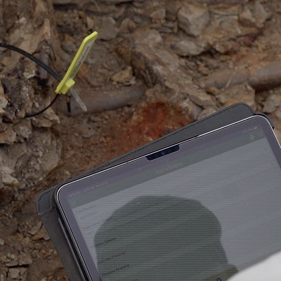
Managing and sharing bone data

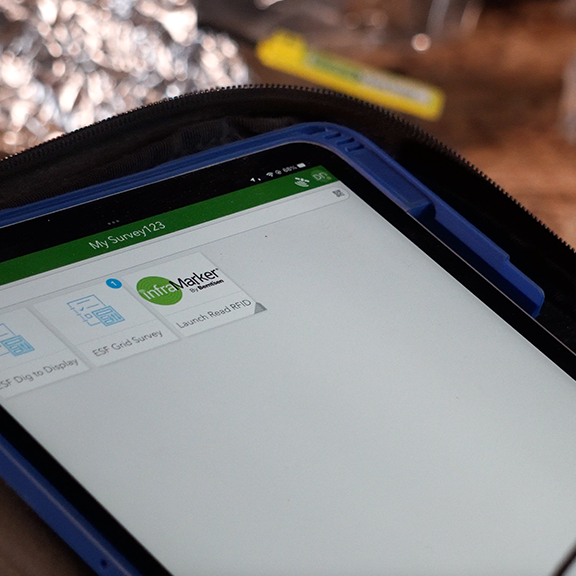
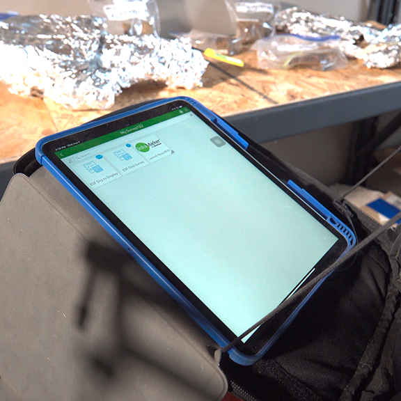
A view of the bones and a snapshot of the associated data in GIS.
ESF manages the progress of their field operations using their ArcGIS online platform. With ArcGIS online, ESF can view a map of bones (original and current location), a complete record of each bone, and a dashboard of daily/weekly/monthly actions.
In addition, third-party organizations can be granted access
to the login portal of ESF InfraMarker cloud and ingest RFID interrogation data that displays near real-time data on the status and location of their assets managed by ESF. This feature allows organizations such as Standing Rock (bone owners) the ability to ‘see’ the bone assets and work product of ESF in a dashboard without having to be on-site.
Results
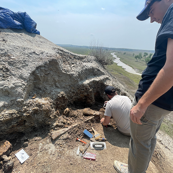
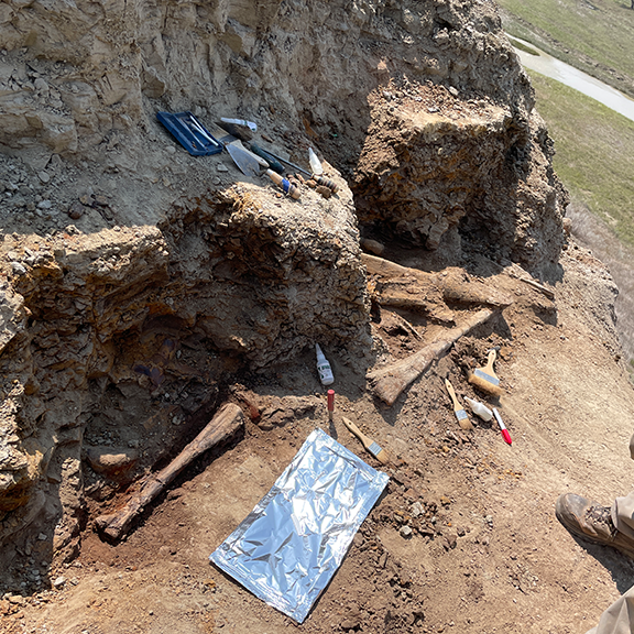
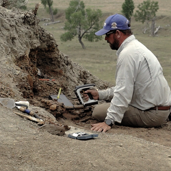
The dig staff quickly recognized the benefits of this approach and within 5 days had catalogued
347 fossils using the InfraMarker RFID/GIS approach. The combination of ArcGIS, HID RFID tags and InfraMarker integration improved field efficiency, accuracy, and collaboration among stakeholders.
Key Success Metrics:
99% Accuracy in Artifact Tracking: The InfraMarker RFID system, in conjunction with HID RFID tags, has enabled near-perfect accuracy in tracking the movement and location of dinosaur fossils throughout the preservation process.
80% Reduction in Administrative Efforts: Integration with Esri GIS has led to a significant reduction in manual data entry and administrative tasks, allowing the team to allocate more time to research and conservation activities. Additionally, the same types of data are captured about every fossil, allowing for better analysis.
Enhanced Collaboration and Accessibility: The utilization of these technologies has fostered enhanced collaboration among multidisciplinary teams by providing real-time data access, resulting in an increase in data sharing and joint research initiatives.

Download the case study to learn about RFID and GIS making an impact in the Paleontology, Archeology, and Curation world.