Connecting Field Asset Management to GIS with RFID
Why InfraMarker® RFID?
Assets are more than dots on your GIS map.
InfraMarker RFID makes the Connected world real.
RFID (Radio Frequency Identification) is an ideal technology for tracking and managing infrastructure assets. RFID markers are rugged enough for the field, can be read from distance or without line of sight, don’t require an energy source, and provide a unique asset ID that can connect to digital management systems. Inframarker has the software to connect RFID-marked assets to your ArcGIS platform and a suite of RFID marking products tailored for public works and subsurface asset identification. InfraMarker connects the physical and digital world for better life cycle asset management and Field operations.
Connect with us to learn more!

Do more with your ESRI Systems
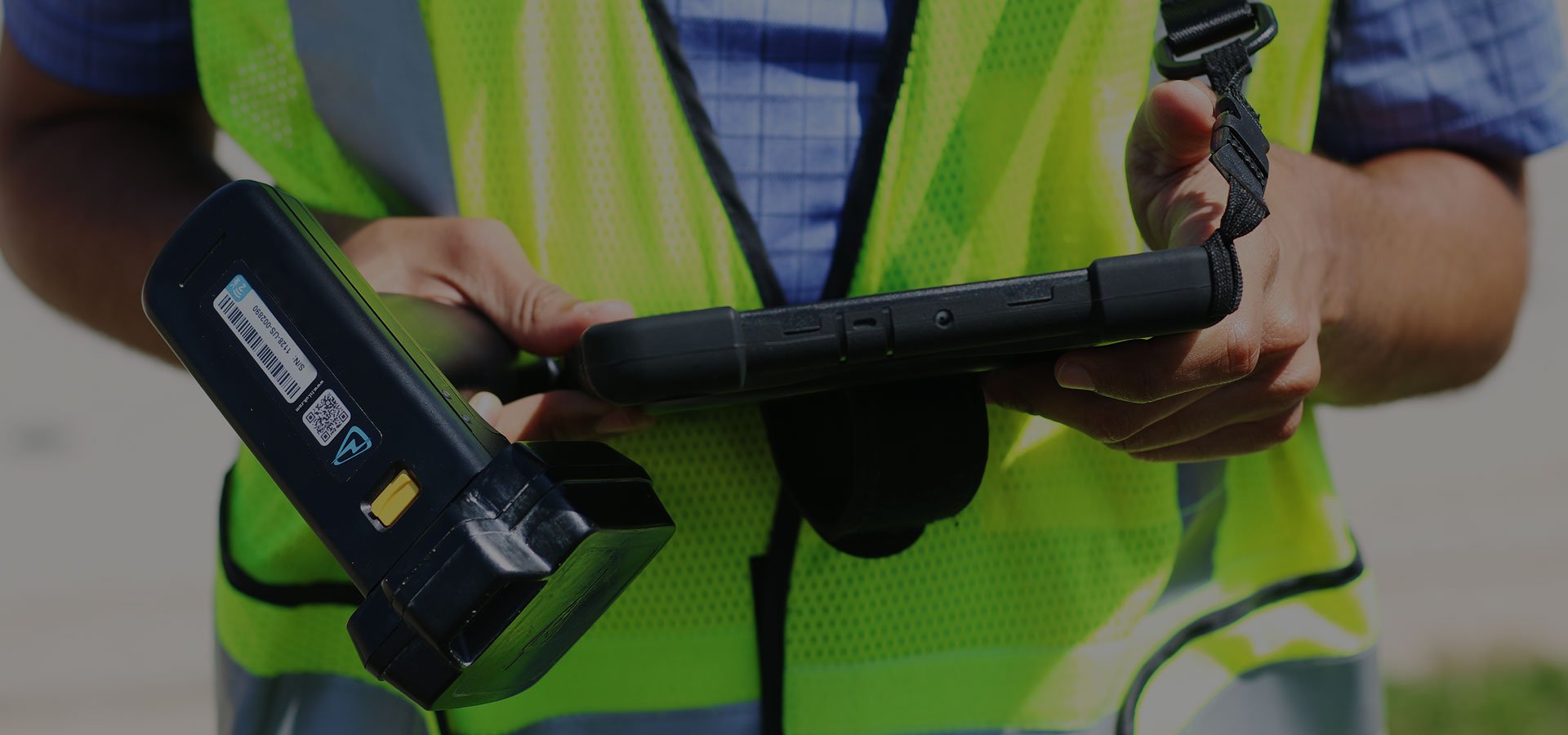
Looking to improve your ArcGIS asset data? InfraMarker RFID’s integration with ArcGIS Field Maps, Survey123 and ArcGIS Online provide asset verification and two-way connectivity between field and office.


Berntsen International, Inc., was recognized with the High Potential Award at the 2022 Esri Partner Conference.

CONNECT ANY RFID ENABLED ASSET TO ARCGIS
RFID is the fastest-growing identification technology.
This simple technology delivers a connection between the physical and the digital, future-enabling assets of all kinds. Assets, can be quickly identified and updated in the InfraMarker RFID app.
InfraMarker RFID works with Esri apps.
It’s easy to add Connected RFID to your asset management. Designed to work with Esri’s data collection apps (ArcGIS Field Maps and ArcGIS Survey123), InfraMarker connects field assets to ArcGIS with a quick RFID scan.
GIS + RFID is powerful.
Leveraging the power of two leading technologies delivers the real-time accuracy and streamlined workflow that extends the value of ArcGIS for infrastructure asset management.
It’s simple.
FUTURE-ENABLE YOUR ASSETS
InfraMarker RFID connects any asset to GIS.
See how it works for managing water infrastructure assets in this quick video.
InfraMarker RFID Delivers:
Quick, accurate asset locating and ID
Faster, more accurate inspections
Streamlined field workflows
Access to real-time field data
Regulatory compliance
Better ROI on GIS investment
Scalable to include future assets with multi-user, multi-department capabilities.
Make GIS connected to the field - with RFID
Passive RFID is the world fastest-growing asset ID technology and GIS’s expansion continues to be exponential.
2018
2029
Passive RFID
$800 million
$3.5 billion
GIS
$8 billion
$25 - $30 billion
InfraMarker RFID combines these technologies, amplifying their value.
An incredibly versatile solution that delivers an accurate digital twin of real assets using 2-step verification. Field staff simply read the asset’s RFID tag to access the correct record. No guessing, no wasted time.
INDUSTRY APPLICATIONS
RFID is agnostic - mark anything and connect to GIS.
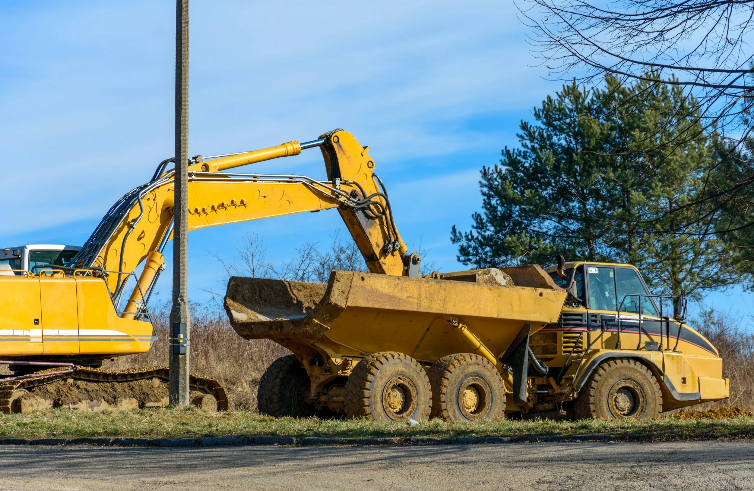
RFID is benefitting a range of industries, from improving fiber asset management to streamlining municipal operations to providing buried asset verification in data centers before excavation. Any asset that requires management can be marked with passive RFID.
InfraMarker middleware works with your GIS to provide accurate, real-time data directly from the field.
InfraMarker RFID tags are passive (no batteries), agnostic and do not require line of sight (work underground).